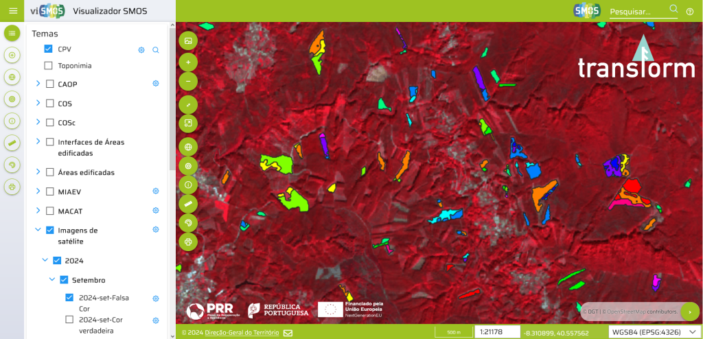
New Vegetation Loss Map for Forests and Shrublands Revolutionizes Forestry Monitoring in Portugal

As part of the “Remote Sensing Data for Forest Management” project, the Vegetation Loss Map for Forests and Shrublands has been launched, an innovative new tool for continuous forest monitoring in Portugal. This cartographic product, developed by the Directorate-General for Territory (DGT) within the scope of the transForm Agenda, allows the identification and monitoring of […]


