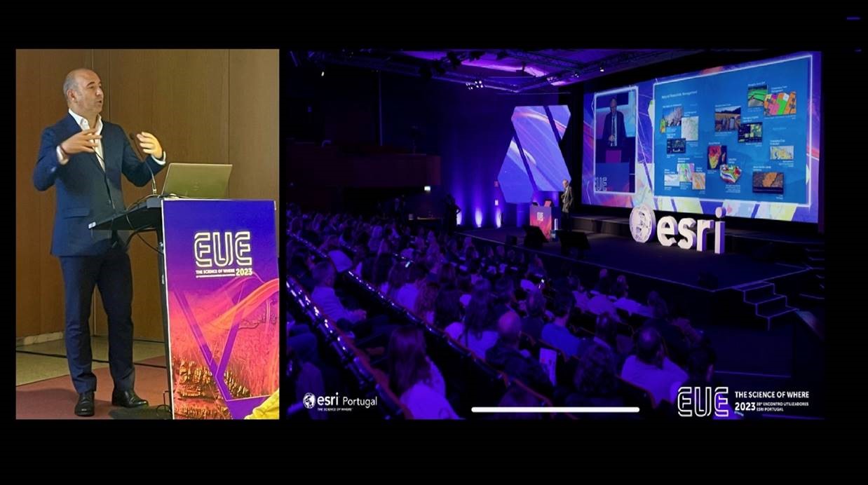
The work carried out by REN in preventing and fighting forest fires, using technology and innovative solutions for greater resilience of energy infrastructures dominated REN’s participation in the 20th ESRI User Meeting (EUE), on October 17.
From the Rural Fire Alert System, developed in 2017 with ESRI tools, to the innovative infrastructure monitoring system developed as part of the rePLANT project and the work being done with the CENTRODEC project of the transForm Agenda, the speech by João Gaspar, head of Sustainable Networks and Servitudes, focused on the importance of using technology for a more effective and efficient response capacity in fighting and preventing forest fires and, in this sense, for greater defense of REN’s infrastructures, which are mostly located in the forest.
REN has almost 10,000 kilometers (around 35,000 hectares) of easements for power lines and gas pipelines, and more than 66% of these easements (23,000 hectares) are in the forest. From 2018 to 2021, an average of 5,000 fires occurred within a 5km radius of REN’s infrastructure.
ESRI is the world leader in GIS (Geographic Information Systems) technology and the pioneer of the ArcGIS solution, the world’s most powerful mapping and analysis tool. Through its technology, ESRI brings the geographical dimension to business, enabling more informed and sustainable decisions to be made, which translate into greater profitability.
The annual EUE Portugal Meeting is a benchmark GIS event in Portugal that brings together the entire Esri user community, as well as customers and partners, to celebrate the sharing of knowledge dedicated to an increasingly topical issue: the importance of Location Intelligence and how businesses can evolve and improve through GIS.
This year’s edition, which brought together the CEO of Esri Portugal, Rui Sabino, and the founder and president of Esri Inc., Jack Dangermond, featured presentations from more than three dozen organizations from both the public and private sectors. From different perspectives, all the speeches demonstrated the importance of Geographic Information Systems for innovation.
Quinta de Prados,
Campus da UTAD
5001-801 Vila Real, Portugal
geral@forestwise.pt
+351 259 350 253
Co-financed by: