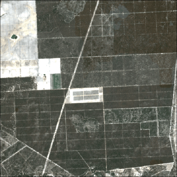
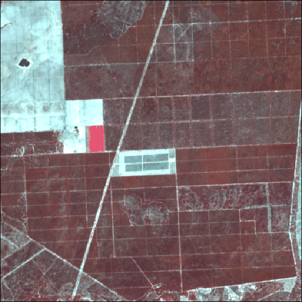
The project will develop artificial intelligence algorithms that will use satellite images, nano-satellites and drones, with the aim of developing forest information and producing cartographic products related to forests, which are fundamental for forest management and risk mitigation, both on a landscape and stand scale.
Main Activities
Research, Development and Innovation
Classification of land use/land cover change on a bi-monthly basis
Development of cartographic products obtained with satellite remote sensing and artificial intelligence techniques for characterizing forest stands
Development of new risk forecasting models (fire and pests)
Development of new thematic maps adapted to the needs of forest managers
– new mapping services – land cover map for 2022, bi-monthly land use and land cover change maps, maps of vegetation cover in fuel management strips;
– new artificial intelligence (AI) models: stock classes (eucalyptus and maritime pine), estimated age classes (eucalyptus and maritime pine), post-fire landscape evolution, occurrence of pests (eucalyptus and maritime pine);
– rural fire risk warning and forecasting platform.
Coordination
Razão D’igualdade (RI)
Participants
Altri Florestal, DGT, Navigator Forest Portugal, RAIZ